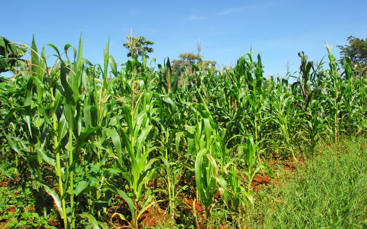
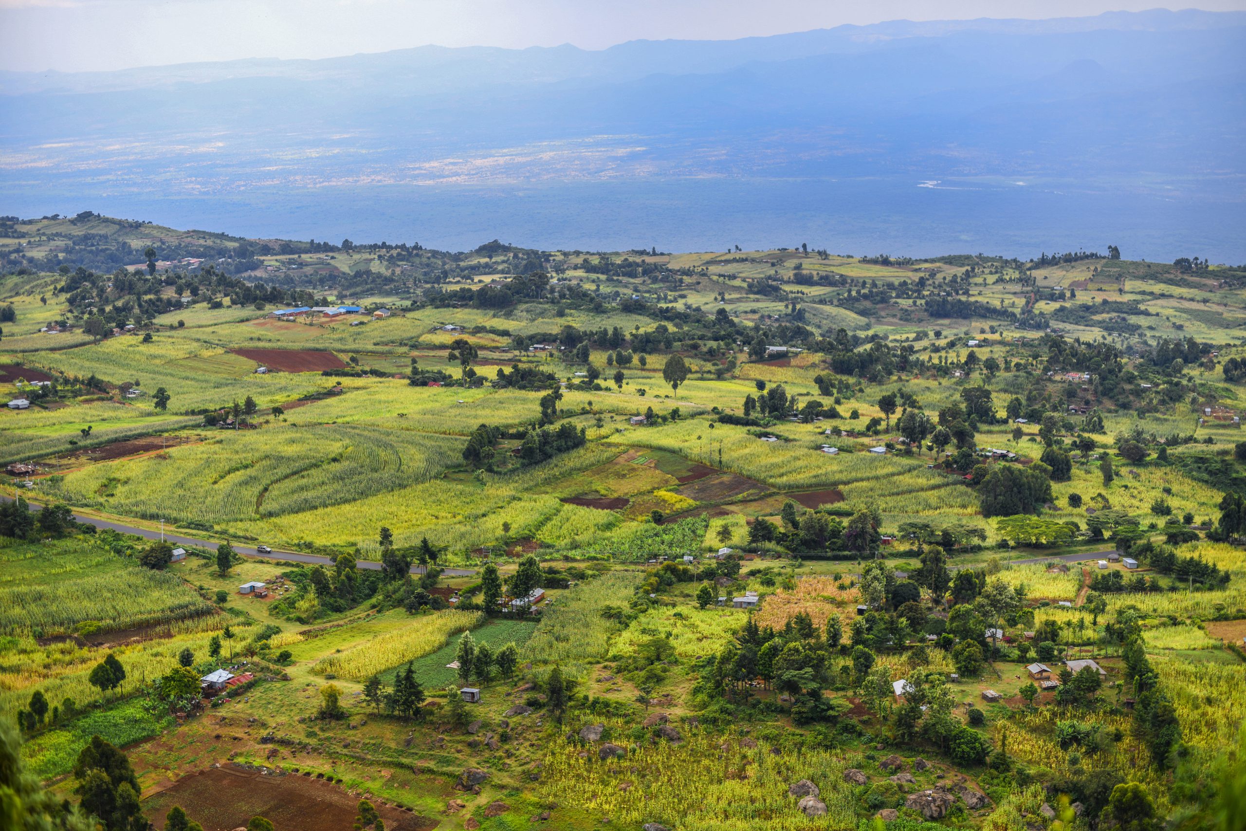
With our agriculture services, we harness remote sensing technologies and data-driven analysis to transform farming practices. Our solutions focus on precision farming, monitoring crop health, and optimizing irrigation and fertilization strategies. By leveraging satellite imagery, drones, and advanced analytics, we empower farmers to maximize crop yields, improve productivity, and make sustainable choices for long-term success.
Transforming Agriculture with Data-Driven Consultancy
At Geo-Infinity, we offer comprehensive agriculture consultancy services that harness the power of remote sensing technologies to drive productivity and sustainability in the farming industry. Our expertise in satellite imagery, drones, and advanced remote sensing techniques empowers farmers and agricultural stakeholders with actionable insights for optimizing crop yields and monitoring crop health.
Key Agriculture Consultancy Services:
- Remote Sensing for Crop Yields: Our remote sensing technologies enable accurate and timely assessment of crop yields. By analyzing satellite imagery and other relevant data sources, we provide valuable insights into crop health, growth patterns, and yield potential. Armed with this information, farmers can make informed decisions regarding irrigation, fertilization, and harvest planning to maximize their productivity.
- Crop Health Monitoring: Leveraging the power of remote sensing, we offer real-time monitoring of crop health indicators. Our analysis detects early signs of stress, disease, or nutrient deficiencies, allowing farmers to take proactive measures to prevent yield losses. By monitoring crop health on a regular basis, we help farmers optimize their agronomic practices and minimize the use of chemicals.
- Drone Technology Integration: We utilize drones equipped with advanced sensors and imaging capabilities to capture high-resolution aerial imagery of agricultural fields. This data is processed and analyzed to provide detailed insights into plant health, growth stages, and pest infestations. Drone technology offers a cost-effective and efficient solution for precise monitoring and assessment of crop conditions.
- Precision Agriculture Solutions: Our consultancy services align with the principles of precision agriculture. By combining remote sensing data with agronomic knowledge, we develop tailored solutions that optimize resource allocation, minimize environmental impact, and increase overall farm efficiency. From variable rate application to site-specific management, our expertise enables farmers to make data-driven decisions for sustainable agricultural practices.
Unlocking Agricultural Potential:
With our data-driven consultancy services, farmers can unlock the full potential of their agricultural operations. By leveraging remote sensing technologies, satellite imagery, and drone capabilities, we provide actionable insights that drive productivity, enhance sustainability, and contribute to food security.
Harness the Power of Data for Agricultural Success – Partner with Geo-Infinity and embark on a journey of innovation, efficiency, and profitability in the farming industry.