
Our consultancy and research services related to natural resources address critical aspects such as forests, landscapes, land degradation, and renewable energy. Through advanced remote sensing techniques, we provide valuable insights into forest monitoring, landscape analysis, and land restoration. Our expertise in detecting solar panels and analyzing high-resolution satellite imagery contributes to understanding the renewable energy landscape. We also assess urban functionality and provide indices for improved service delivery and customer experience.
At Geo-Infinity, we combine expertise, technology, and data-driven analysis to provide comprehensive solutions for spatial consultancy and research, agriculture, water resource management, urban and built environment planning, and natural resources assessment. With a commitment to innovation, sustainability, and informed decision-making, we empower our clients to thrive in a rapidly changing world
Unlocking the Potential of Natural Resources: Empowering Environmental Stewardship
Welcome to Geo-Infinity’s Natural Resources Division: Where Sustainability and Innovation Converge
At Geo-Infinity, we are dedicated to the preservation and responsible management of natural resources. Our comprehensive suite of services offers invaluable insights and practical solutions to ensure the sustainable utilization and restoration of our planet’s most vital assets. Explore our diverse range of expertise:
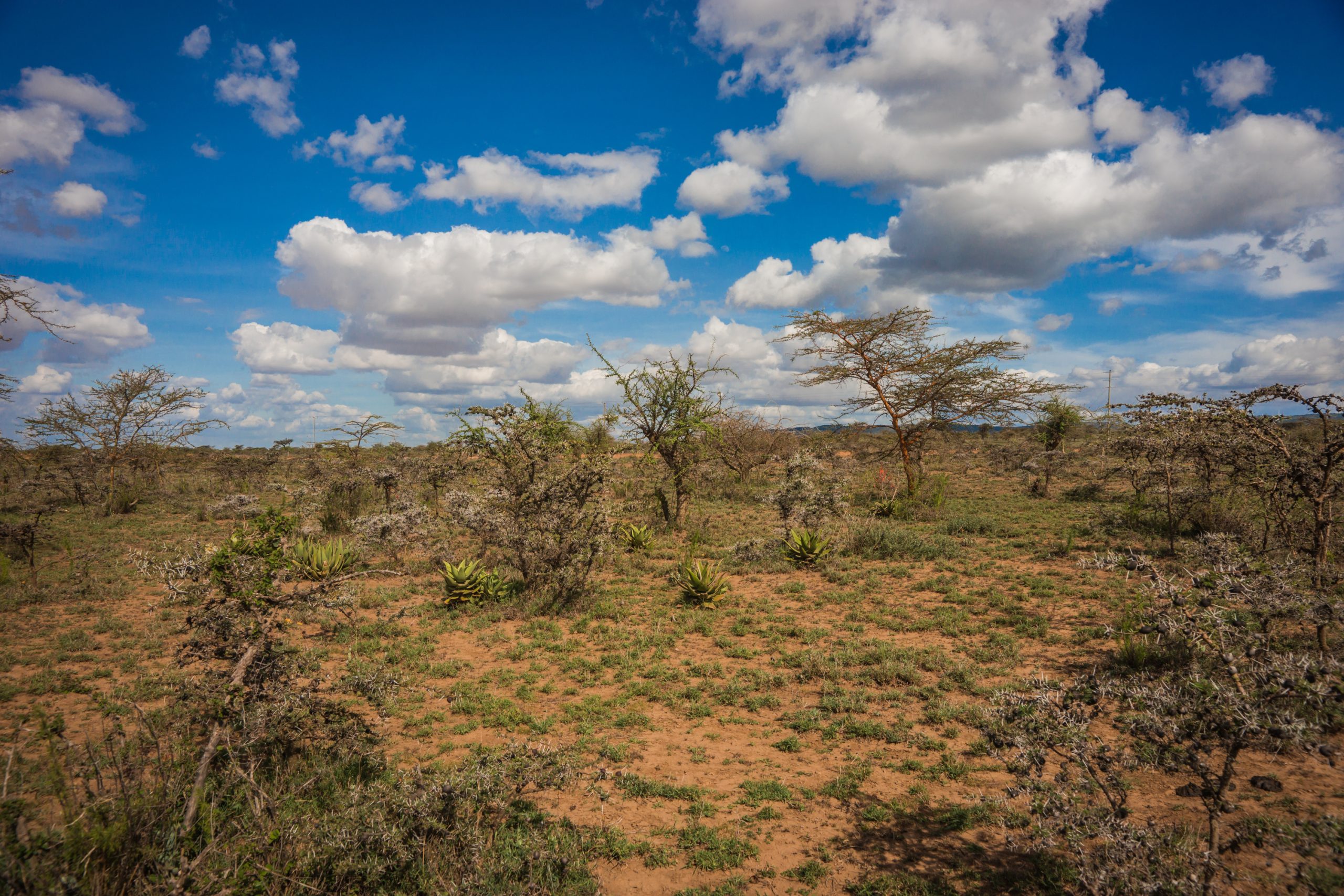
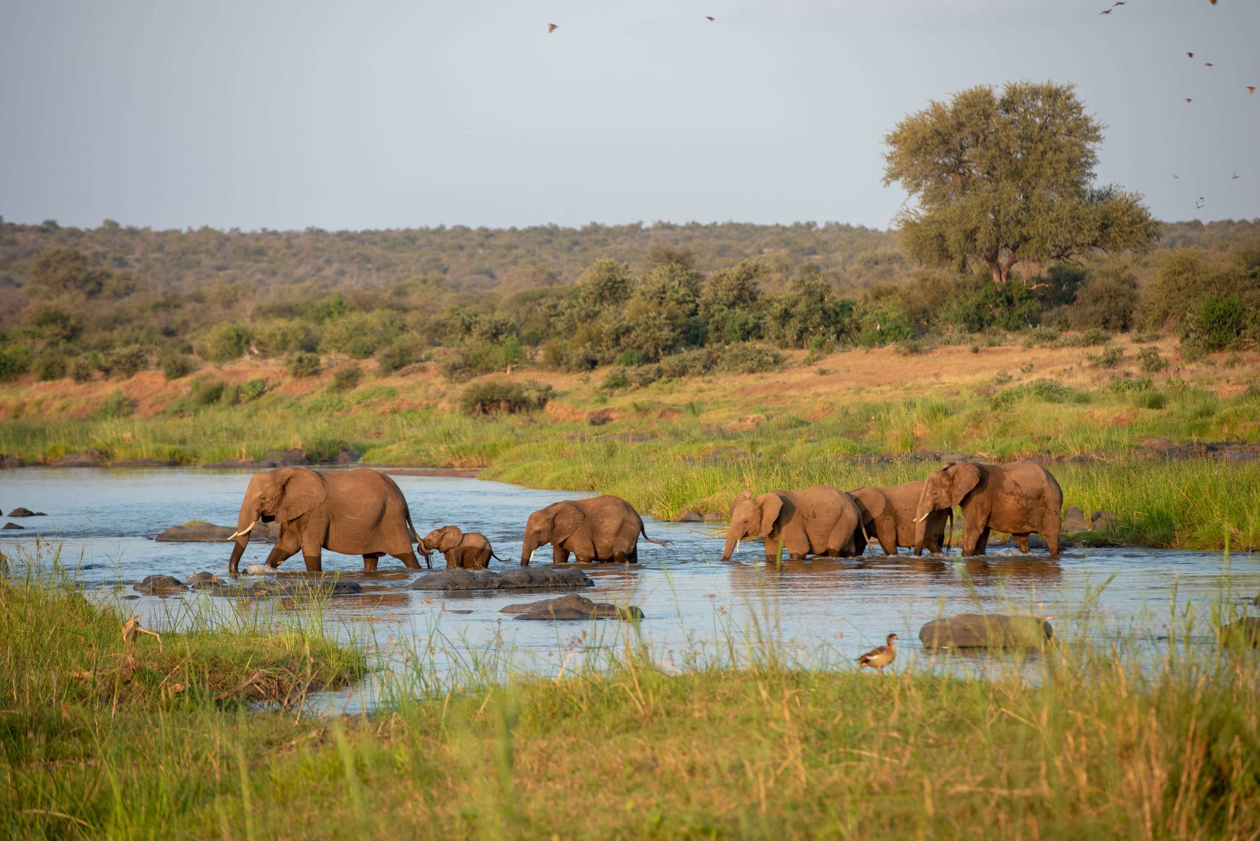
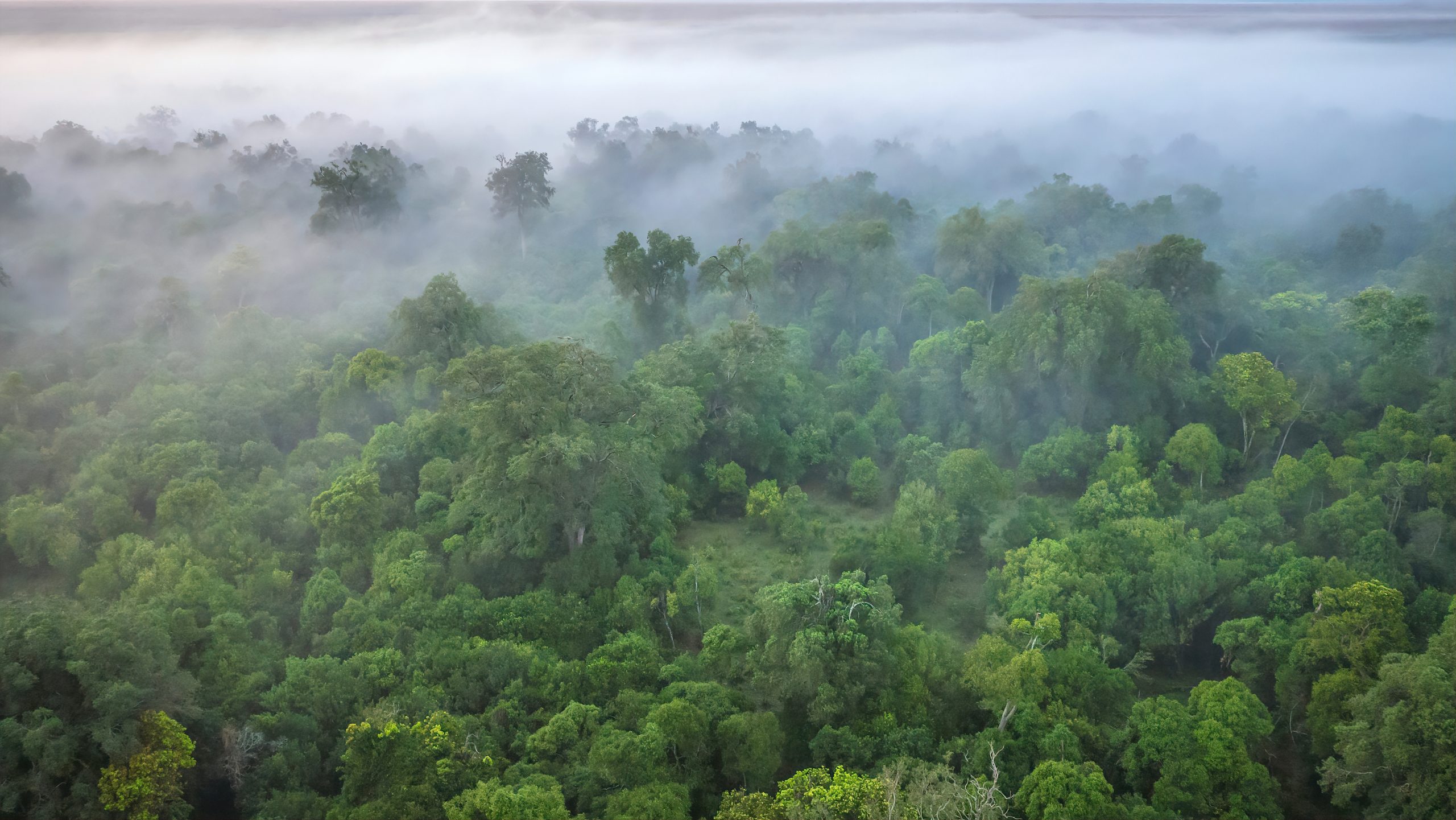
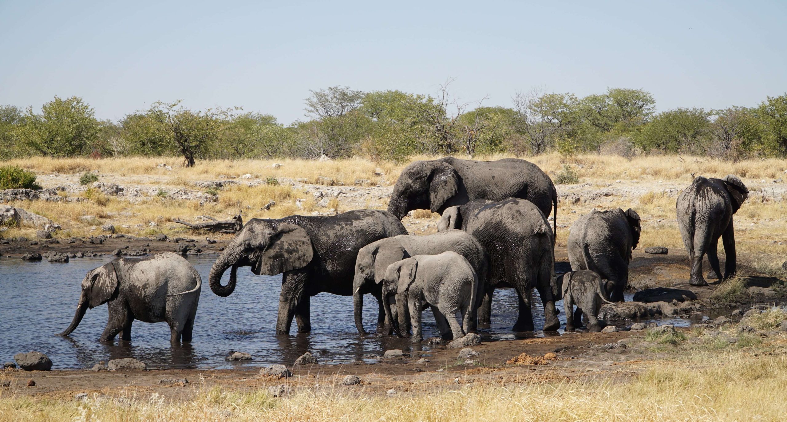
- Forest Monitoring and Landscape Analysis: With our advanced technologies, we monitor forests and analyze landscapes to assess their health, biodiversity, and potential threats. By leveraging change detection algorithms and monitoring services, we provide critical insights necessary for land restoration initiatives. Our comprehensive approach enables us to quantify biomass and monitor carbon levels, facilitating sustainable forest management and combating deforestation.
- Land Degradation and Restoration: Our services extend beyond monitoring to actively address land degradation. We offer actionable insights into the factors contributing to land degradation, empowering decision makers to implement effective restoration strategies. Through our expertise in change detection and data-driven analysis, we help restore ecosystems, reclaim degraded land, and foster the resilience of natural resources.
- Bathymetric Surveys and LIDAR Capabilities: Our on-the-ground team possesses the expertise and resources to conduct bathymetric surveys, capturing valuable data on underwater topography and habitats. Additionally, our access to LIDAR sensors allows us to collect high-resolution data for accurate terrain mapping and three-dimensional modeling. Harnessing these capabilities, we provide comprehensive information for coastal and marine management, infrastructure planning, and environmental impact assessments.
- Environmental Data Integration: At Geo-Infinity, we understand the power of data integration. By merging satellite imagery, ground-based data, and other relevant datasets, we provide a holistic understanding of the natural environment. Our expertise in data fusion and analysis allows us to uncover hidden patterns, assess environmental risks, and develop targeted strategies for sustainable resource management.
Unlocking Nature’s Potential Together:
As stewards of the environment, we invite you to join us on a transformative journey towards sustainable natural resource management. Together, we can unleash the power of innovation, data-driven insights, and responsible practices to preserve our planet’s precious resources for future generations.
Empower Environmental Stewardship – Explore the possibilities, restore balance to our ecosystems, and shape a brighter, more sustainable future.